Blue Carpathian Trail – winter crossing
We provide a description of the challenge that will be undertaken in January/February 2022 Pawel Pabian.
Project goal / challenge
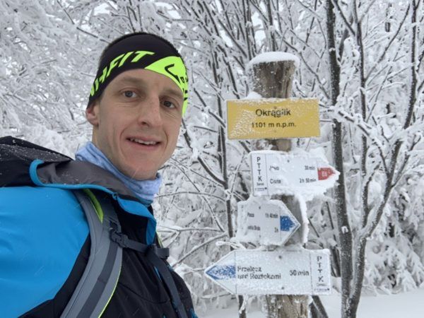
In January 2022, I intend to be the first person in history to conquer the wild and unpopulated in winter, the second longest hiking trail in Poland – the 450 km long Blue Carpathian Trail.
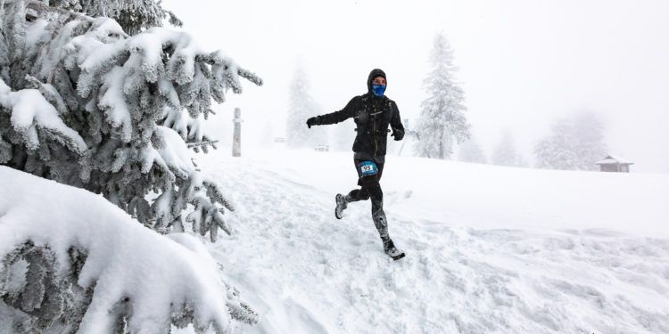
The formula in force when traversing the trail is unsupported, alone (if someone joins in on some section to traverse the trail together – it is possible). The challenge assumes the first winter crossing partly on feet and partly with skydiving equipment. Due to the unsupported formula, what I take at the start from the equipment on my back – I will carry to the end of the route. Additional burden will be ski equipment (about 5 kg) and trekking boots. The project is to travel the trail with the lightest possible equipment in a fast and light version.
Blue Carpathian Trail
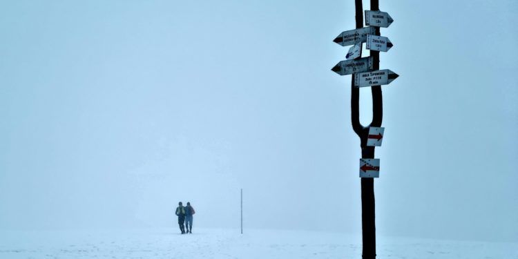
The Blue Carpathian Trail is an adventure in itself and definitely only for Mountain Connoisseurs. Experiencing a wild, mountainous and unpaved trail in the Polish mountains brings the hallmarks of a pioneering adventure that is hard to come by in Poland. This is what the trail looks like on the section of the Beskid Niski and Bieszczady Mountains, where it runs along the Polish-Slovakian border in places bouncing to border towns – those existing and non-existing. Tourist infrastructure on the trail is negligible, as there are passages where for 40-50 km there is no civilization at all, but only the immensity of mountains and snow. On this trail in winter conditions you will need navigation, use of a map and orientation, as it is very poorly marked in places. Where it will be possible – I will stay overnight in the localities. If on a given day I can not reach the optimal place – my shelter will remain a shelter or tourist shelter.
Comparing the Carpathian Blue Trail to the longest trail in Poland – the Main Beskid Trail is 2 different adventures. On the longest trail in Poland every dozen kilometers or so we have civilization in the form of a village, hostel, tent base, agritourism. This gives us the opportunity to supply and regenerate for further stretches. In addition, even in winter it is frequented and you can often find a blazed trail. The Carpathian Blue Route is the complete opposite of the red route. Both the areas of the Low Beskid, the Bieszczady and then the Foothills are sporadically traveled in summer, while in winter conditions almost not at all!
About the trail
- Mountain ranges: Beskid Niski, Bieszczady, Sanocko-Turczańskie Mountains, Przemyskie Foothills, Dynowskie Foothills
- Larger towns: Grybów, Wysowa Zdrój, Konieczna, Barwinek, Łupków, Ustrzyki Górne, Ustrzyki Dolne, Arłamów, Kalwaria Pacławska, Krasiczyn, Dynów, Rzeszów (Biała)
- Start of the route: Grybow (railway station)
- End of the route: Rzeszow (Biala) near the school
- Length: about 439-450 km
Project deadline: launch in January 2022
Pawel Pabian
All projects completed so far are described and have been covered on a regular basis on the website and FB.


