With packraft in the wild: one-day rafting on the Drawa River on the Bogdanka-Sitnica section
Drawa is one of three 3 rivers in Poland that flows from north to south. It is also a heavily meandering river. The winding coefficient of the Drawa is 212%, which means that for every 1 kilometer of the river’s length visible on the map from north to south, there is as much as 2.12 kilometers of actual current. The Drawa River within the boundaries of the Drawa National Park, in its most difficult sections, behaves like a mountain river. Fast current, large accumulation of water in places of submerged tree trunks, parts of trees sticking out of the water in the form of branches and boughs require from the swimmers the ability to behave in such situations.
Recommended rafting route
The proposed section begins where the most difficult “park” Drawa River ends, and its part begins, which, admittedly, contains the above-described difficulties, however in a far lesser intensity.
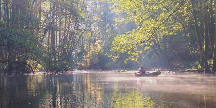
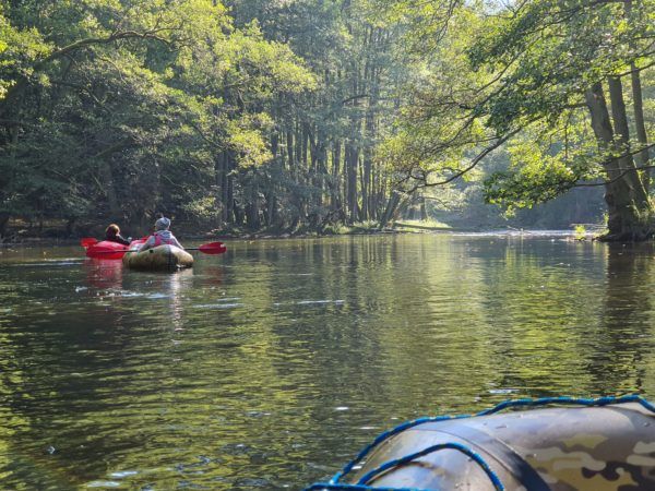
For the most part, the proposed trail is free. It leads mainly among pine forests. Parts of the steep slopes are overgrown with beech trees. By the river we will be able to see reed rushes, and the surrounding meadows are mostly overgrown with clumps of stiff sedge. On the sandy bottom you can see underwater meadows formed by several species of pondweed. Where the course of the river is calmer, Canadian waterweed and hornworts grow. In the bends of the river, where there used to be meadows, there are artificially planted crops of black alder. In places the current is sometimes faster, but only in short sections. Obstacles, due to the slower current, are easier to overcome. On the way, by the right bank, we pass a large erratic boulder in the water called “Otter Stone” (circumference 14.2 m). This is a sign that there is about 1.5 km left to our destination – Sitnica –. There are two rocky rapids left for us to overcome. Along the way we will pass the remains of a wooden footbridge. The bottom is rocky, you can see hildebrantia. This proves that the waters of Drawa in this place are clean or with insignificant pollution.
The total length of the proposed route is about 8 km.
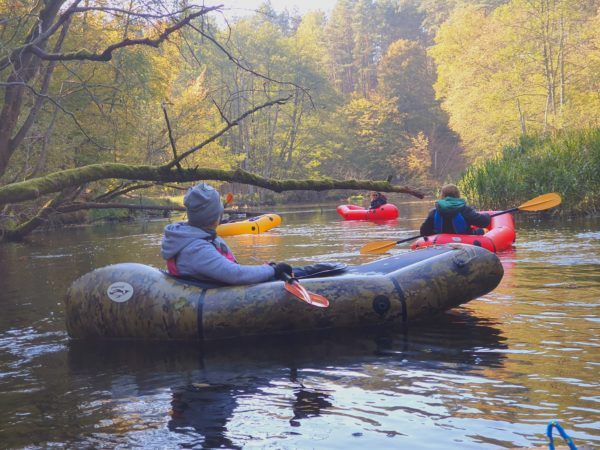
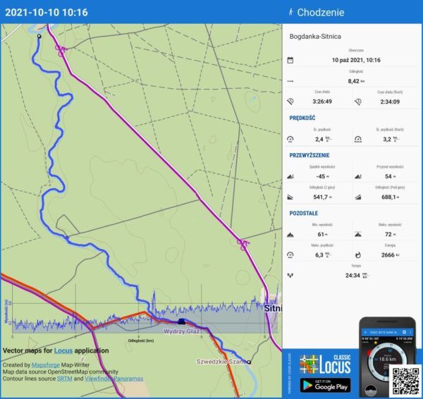 One-day rafting on the Drawa River on the section Bogdanka-Sitnica (photo. Robert Bogusz)
Difficulty
The trail on the Bogdanka-Sitnica section is not demanding. Occurring obstacles in the form of fallen trees, protruding branches and branches are possible to swim through without leaving the packraft. If you associate this section with any effort, it is 100% rewarded with views. This section looks especially beautiful in autumn. In places, the rather slow current allows you to have a trouble-free look at this part of the Drawa National Park.
Rafting time
Three hours will be enough to slowly swim the route. The route back to Bogdanka is about 6 km of walking.
Additional information
The described section, despite the fact that it is part of the Drava River, is most suitable for beginners, as long as they will flow under the supervision of a more experienced person. Crossing it on packraft is the easier the more experienced you are in canoeing.
Robert Bogusz
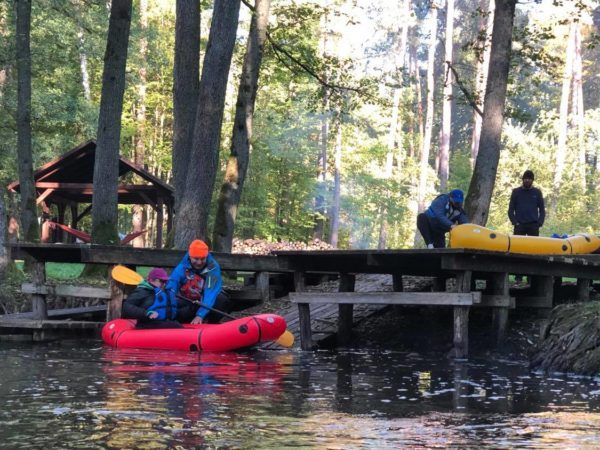 fot. Katarzyna Szeligowska
 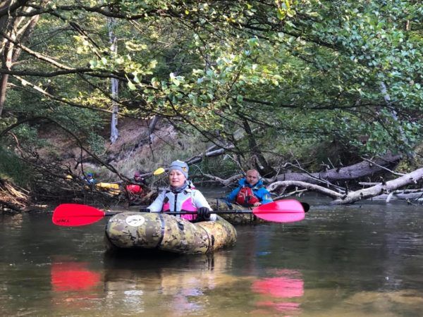 photo. Katarzyna Szeligowska
 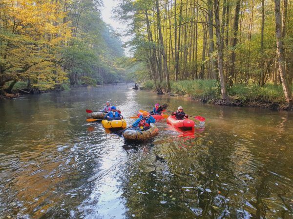 fot. Robert Bogusz
 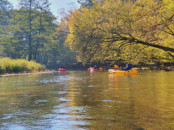 Photo. Robert Bogusz
  fot. Robert Bogusz
 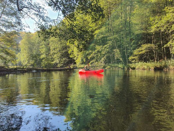 photo. Robert Bogusz
  fot. Robert Bogusz
 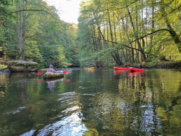 Photo. Robert Bogusz
 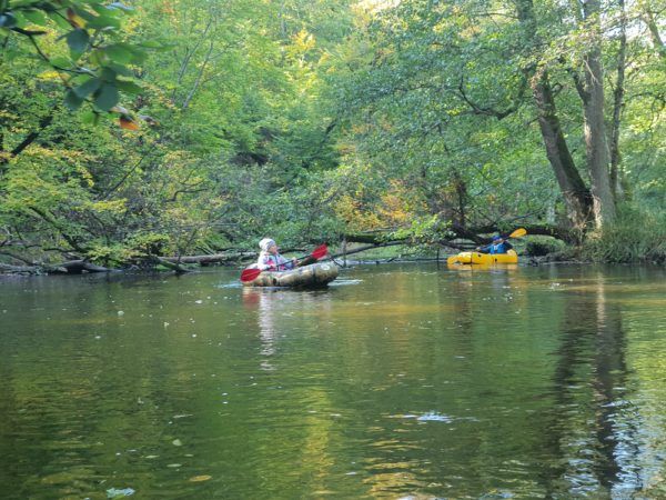 fot. Robert Bogusz
 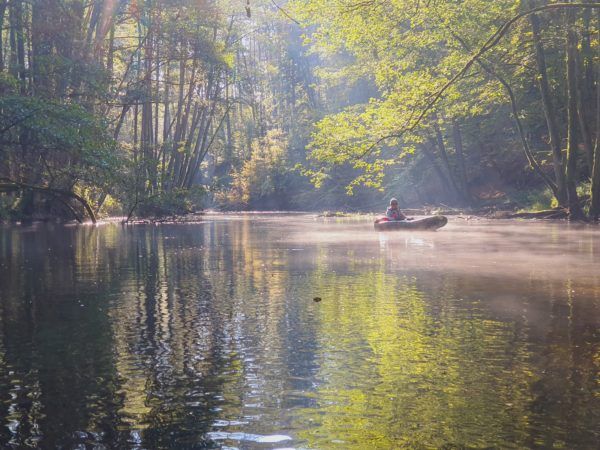 Photo. Robert Bogusz
